Community Service with Web-Based Geographic Information Science and Technology (GIST)
Course Description
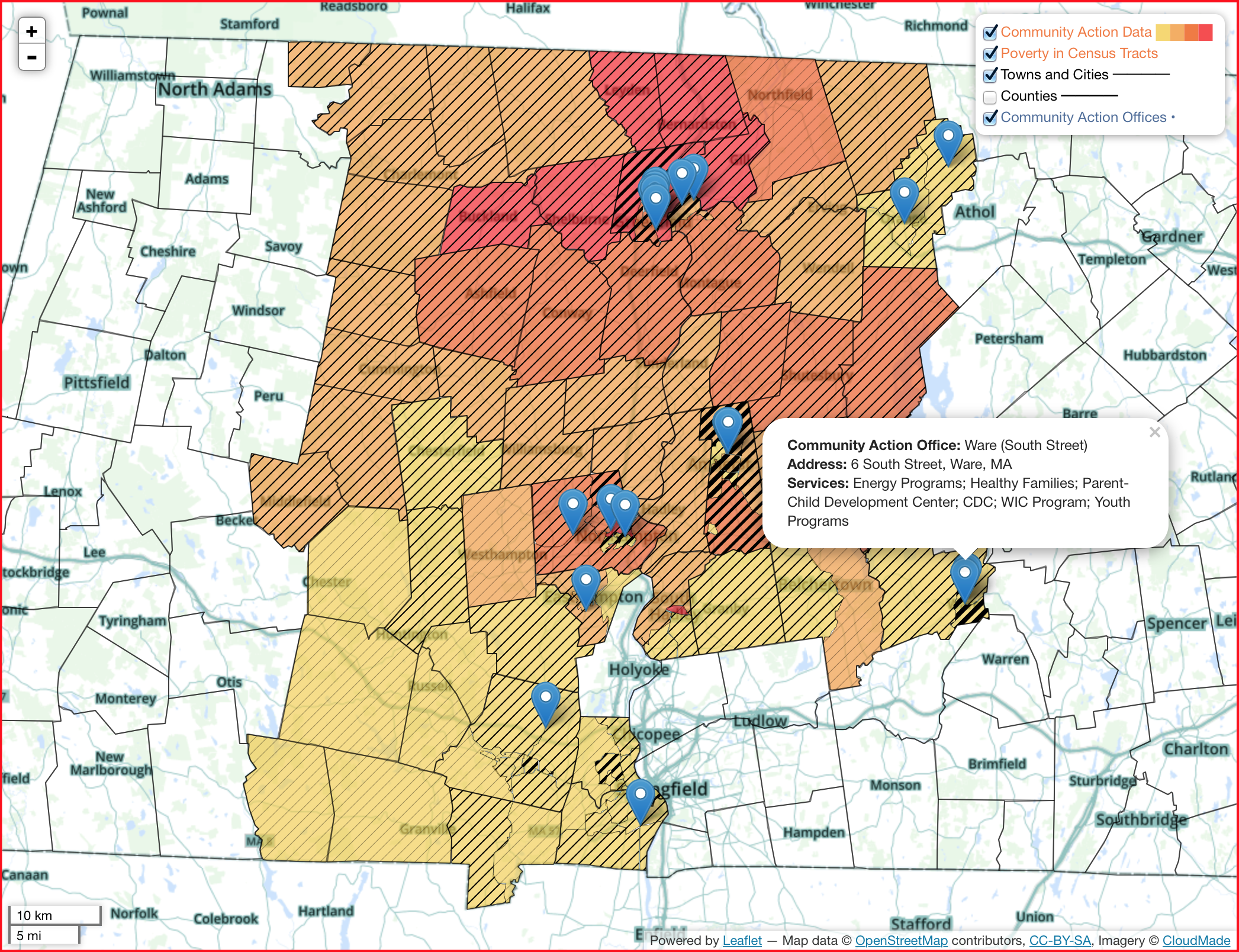
Maps on the World-Wide Web are so commonplace that it’s hard to find a commercial web site without one, and many sites have mapping as a central focus. Even individuals can put points on a map relatively easily. But when it comes to full-featured interactive maps that leverage political boundaries, census data, landscape features, elevation imagery, et al., to help analyze and evaluate custom information, there is still a significant level of geographic understanding and programming expertise required to pull it all together — important skills for the twenty-first century.
Geographic Information Science and Technologies (GIST) have been present on the Web from early on, and now take the form of a spatial data infrastructure that brings together map servers, databases, and client software with a “glue” of open protocols for exchanging information. Commercial products from Google and Esri predominate, but open-source technologies are available that make it possible to customize the user mapping experience with little cost. Open-access data is becoming increasingly available, whether from government, educational institutions, or “crowd-sourced”. Many nonprofit organizations and educational institutions in our communities can benefit from inexpensive GIST solutions that can help illuminate the difficult problems they tackle and facilitate their solutions.
In this course you will work in teams to design and implement a Web-based open-source GIST project for a community organization or one of the Five Colleges. In the process you will learn and understand how the World-Wide Web works, the nature of geographic information and how it is processed and visualized on the Web, and the importance of open standards, software, and data. In addition you will be able to analyze and evaluate possible approaches to geospatial problems.

The course is open to all Five College students with some some background in GIS, such as NRC 585, Geography 352, or courses offered by one of the other Five Colleges. Computer programming is helpful but not required.
Learning Goals
Students will understand how the World-Wide Web works, the nature of geographic information and how it is processed and visualized on the Web, the importance of open standards, software, and data, the value of teamwork, and how to creatively apply their knowledge of GIST and Web programming to benefit their community.
Learning Outcomes
Students can create interactive maps on the Web using a spatial data infrastructure, specifically:
- composite geographic layers to facilitate visual analysis;
- join tables of information from different sources
- build a spatial database and use spatial selections to focus analysis;
- display raster data sets and georeference scanned maps;
- transform vector and raster data into more useful representations;
- mark up web pages that contain text, imagery, and vector graphics;
- programmatically create web pages;
- add interactivity to web pages to allow the choice of data to display;
- send requests back to web servers for selection and updates of data.
Copyright
Unless otherwise noted, this document is © 2016 Five Colleges, Inc. but made available under a Creative Commons Attribution License (CC BY). 